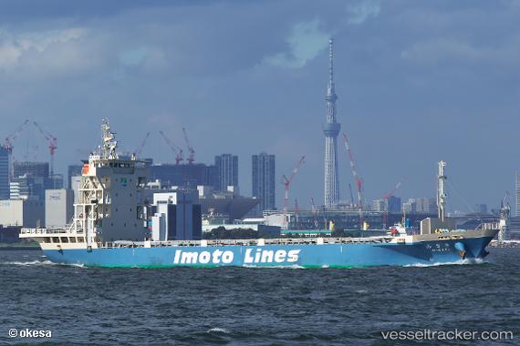
 CHENG TAI
Current Status
Where is the vessel?
CHENG TAI is currently in 41 nm SW of Xijiang, based on AIS data received about 15h ago.
Latest AIS update:
Current position: 20.71080° N, 114.46251° E (41 nm SW of Xijiang)
Average speed (last 7 days): Loading…
Average speed (last 30 days): Loading…
Vessel profile: CHENG TAI is a Cargo with dimensions m x m.
This page combines live AIS, route history, probable destination signals, nearby traffic, and port activity for practical vessel monitoring.
The current position of vessel CHENG TAI is 20.71080 lat / 114.46251 lng. Updated: 2026-05-20 09:40:09 UTCNearest reference points:
- 42 nm SE of Wanshan Pt
- 78 nm SW of Xijiang
- 44 nm S of Wanshan Pt
Currently sailing under the flag of Tanzania ![]()
Details:
Live Vessel CHENG TAI Analytics (details, animations, etc.)
Recent AIS points (UTC):
2026-05-20 07:27:59 UTC · 20.73617, 114.39024 · SOG 1.2 kn · COG -1°2026-05-20 07:39:11 UTC · 20.73460, 114.39528 · SOG 0.8 kn · COG -1°
2026-05-20 09:38:41 UTC · 20.71185, 114.46049 · SOG 7.1 kn · COG -1°
2026-05-20 09:40:09 UTC · 20.71080, 114.46251 · SOG 6.6 kn · COG -1°