Tiyam
Current StatusWhere is the vessel?
Tiyam is currently in 16 nm W of Krasnovodsk, based on AIS data received about 14h ago.
Latest AIS update:
Current position: 40.01270° N, 52.62526° E (16 nm W of Krasnovodsk)
Average speed (last 7 days): Loading…
Average speed (last 30 days): Loading…
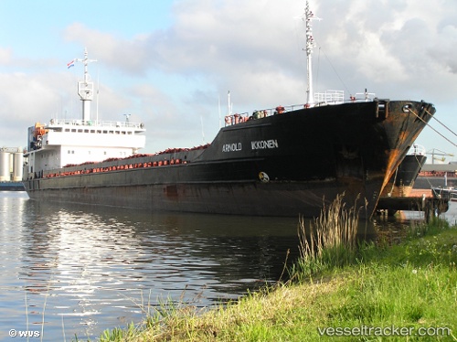
Vessel profile: Tiyam is a General Cargo Ship with dimensions 16m x 117m.
This page combines live AIS, route history, probable destination signals, nearby traffic, and port activity for practical vessel monitoring.
The current position of vessel Tiyam is 40.01270 lat / 52.62526 lng. Updated: 2026-05-19 13:50:24 UTCNearest reference points:
- Near Krasnovodsk
- Near Hazar
- 42 nm W of Hazar
Details:
Live Vessel Tiyam Analytics (details, animations, etc.)
Recent AIS points (UTC):
2026-05-19 09:28:36 UTC · 39.65711, 52.90032 · SOG 6.2 kn · COG 321°2026-05-19 10:22:05 UTC · 39.73035, 52.83172 · SOG 5.8 kn · COG 316°
2026-05-19 12:06:18 UTC · 39.86223, 52.70064 · SOG 5.7 kn · COG 331°
2026-05-19 13:50:24 UTC · 40.01270, 52.62526 · SOG 5.7 kn · COG 342°