 Christa
Current Status
Where is the vessel?
Christa is currently in Near Ordzhonikidze, based on AIS data received about 8d ago.
Latest AIS update:
Current position: 44.85818° N, 35.11829° E (Near Ordzhonikidze)
Average speed (last 7 days): Loading…
Average speed (last 30 days): Loading…
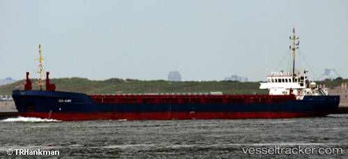
Vessel profile: Christa is a Multi Purpose Carrier with dimensions 87m x 12m.
This page combines live AIS, route history, probable destination signals, nearby traffic, and port activity for practical vessel monitoring.
The current position of vessel Christa is 44.85818 lat / 35.11829 lng. Updated: 2026-06-04 21:41:56 UTCNearest reference points:
- Near Feodosiia
- Near Simferopol
- Near Dorozhnoye
Currently sailing under the flag of Vanuatu ![]()
Christa built in 1989 year
Deadweight:
3015 tDetails:
Live Vessel Christa Analytics (details, animations, etc.)
Recent AIS points (UTC):
2026-06-04 21:07:01 UTC · 45.03765, 35.24443 · SOG 0 kn · COG 38°2026-06-04 21:41:56 UTC · 44.85818, 35.11829 · SOG 0 kn · COG 37°
2026-06-04 21:41:56 UTC · 44.85818, 35.11829 · SOG 0 kn · COG 37°
2026-06-04 21:41:56 UTC · 44.85818, 35.11829 · SOG 0 kn · COG 37°