Sk Friendship
Current StatusWhere is the vessel?
Sk Friendship is currently in 39 nm S of Jimaní, based on AIS data received about 1d ago.
Latest AIS update:
Current position: 17.82958° N, 71.82910° W (39 nm S of Jimaní)
Average speed (last 7 days): Loading…
Average speed (last 30 days): Loading…
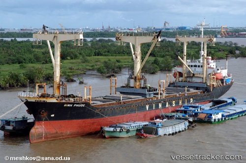
Vessel profile: Sk Friendship is a General Cargo Ship with dimensions 19m x 113m.
This page combines live AIS, route history, probable destination signals, nearby traffic, and port activity for practical vessel monitoring.
The current position of vessel Sk Friendship is 17.82958 lat / -71.82910 lng. Updated: 2026-05-19 12:10:24 UTCNearest reference points:
- Near Bahia De Las Calderas
- Near Puerto Plata
Details:
Live Vessel Sk Friendship Analytics (details, animations, etc.)
Recent AIS points (UTC):
2026-05-19 12:10:24 UTC · 17.82958, -71.82910 · SOG 8.8 kn · COG 147°2026-05-19 12:10:24 UTC · 17.82958, -71.82910 · SOG 8.8 kn · COG 147°
2026-05-19 12:10:24 UTC · 17.82958, -71.82910 · SOG 8.8 kn · COG 147°
2026-05-19 12:10:24 UTC · 17.82958, -71.82910 · SOG 8.8 kn · COG 147°