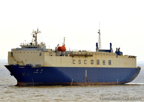
 YENISEY
Current Status
Where is the vessel?
YENISEY is currently in 145 nm S of Kozmino Port, based on AIS data received about 14h ago.
Latest AIS update:
Current position: 40.30667° N, 132.84332° E (145 nm S of Kozmino Port)
Average speed (last 7 days): Loading…
Average speed (last 30 days): Loading…
Vessel profile: YENISEY is a Vehicles Carrier with dimensions 110m x 21m.
This page combines live AIS, route history, probable destination signals, nearby traffic, and port activity for practical vessel monitoring.
The current position of vessel YENISEY is 40.30667 lat / 132.84332 lng. Updated: 2026-07-11 10:50:20 UTCNearest reference points:
- 113 nm S of Askold
- 110 nm S of Askold
- 75 nm S of Askold
Currently sailing under the flag of Sierra Leone ![]()
YENISEY built in 1990 year
Deadweight:
5228 tDetails:
Live Vessel YENISEY Analytics (details, animations, etc.)
Recent AIS points (UTC):
2026-07-11 07:14:18 UTC · 39.61167, 132.91667 · SOG 11 kn · COG -1°2026-07-11 08:14:16 UTC · 39.80167, 132.89667 · SOG 11 kn · COG -1°
2026-07-11 09:29:19 UTC · 40.04333, 132.87500 · SOG 11 kn · COG -1°
2026-07-11 10:50:20 UTC · 40.30667, 132.84332 · SOG 11 kn · COG -1°