 OCEAN CONNECTOR
Current Status
Where is the vessel?
OCEAN CONNECTOR is currently in Near Gávrion, based on AIS data received about 14h ago.
Latest AIS update:
Current position: 37.97151° N, 24.66219° E (Near Gávrion)
Average speed (last 7 days): Loading…
Average speed (last 30 days): Loading…
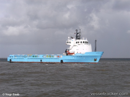
Vessel profile: OCEAN CONNECTOR is a Offshore Supply Ship with dimensions m x m.
This page combines live AIS, route history, probable destination signals, nearby traffic, and port activity for practical vessel monitoring.
The current position of vessel OCEAN CONNECTOR is 37.97151 lat / 24.66219 lng. Updated: 2026-05-20 19:32:18 UTCNearest reference points:
- Near Agia Marina Grammatikou Attikis
- Near Kéa (Tzia)
- Near LAVRIO
Currently sailing under the flag of Antigua and Barbuda ![]()
Details:
Live Vessel OCEAN CONNECTOR Analytics (details, animations, etc.)
Recent AIS points (UTC):
2026-05-20 15:55:27 UTC · 37.79167, 24.18799 · SOG 7.6 kn · COG 73°2026-05-20 16:12:19 UTC · 37.80275, 24.23007 · SOG 7.4 kn · COG 73°
2026-05-20 18:03:29 UTC · 37.86887, 24.49785 · SOG 7 kn · COG 74°
2026-05-20 19:32:18 UTC · 37.97151, 24.66219 · SOG 7.3 kn · COG 25°