 SANDY LANES
Current Status
Where is the vessel?
SANDY LANES is currently in Near BOSASO, based on AIS data received about 1d ago.
Latest AIS update:
Current position: 11.31511° N, 49.15113° E (Near BOSASO)
Average speed (last 7 days): Loading…
Average speed (last 30 days): Loading…
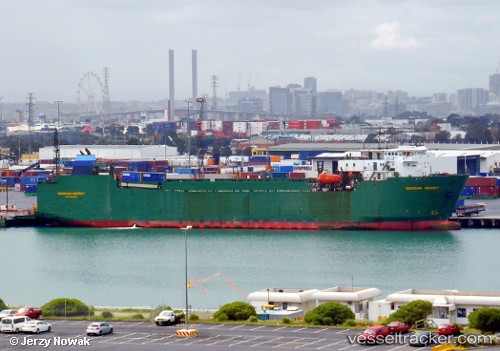
Vessel profile: SANDY LANES is a Ro-Ro Cargo with dimensions m x m.
This page combines live AIS, route history, probable destination signals, nearby traffic, and port activity for practical vessel monitoring.
The current position of vessel SANDY LANES is 11.31511 lat / 49.15113 lng. Updated: 2026-05-19 13:01:56 UTCCurrently sailing under the flag of Panama ![]()
Details:
Live Vessel SANDY LANES Analytics (details, animations, etc.)
Recent AIS points (UTC):
2026-05-19 13:01:56 UTC · 11.31511, 49.15113 · SOG 0 kn · COG 56°2026-05-19 13:01:56 UTC · 11.31511, 49.15113 · SOG 0 kn · COG 56°
2026-05-19 13:01:56 UTC · 11.31511, 49.15113 · SOG 0 kn · COG 56°
2026-05-19 13:01:56 UTC · 11.31511, 49.15113 · SOG 0 kn · COG 56°