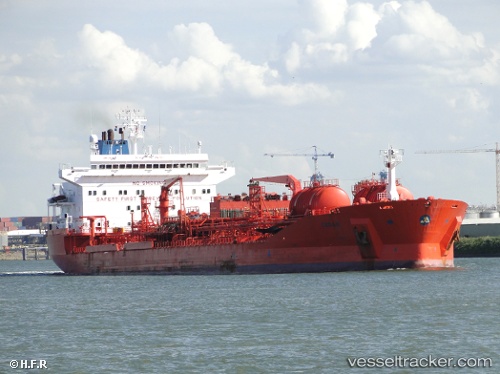
Stolt Cedar
Current StatusWhere is the vessel?
Stolt Cedar is currently in Near Gonglu, based on AIS data received about 27d ago.
Latest AIS update:
Current position: 31.36552° N, 121.71317° E (Near Gonglu)
Average speed (last 7 days): Loading…
Average speed (last 30 days): Loading…
Vessel profile: Stolt Cedar is a Chemical Oil Products Tanker with dimensions 32m x 183m.
This page combines live AIS, route history, probable destination signals, nearby traffic, and port activity for practical vessel monitoring.
The current position of vessel Stolt Cedar is 31.36552 lat / 121.71317 lng. Updated: 2026-06-17 10:00:02 UTCNearest reference points:
- Near Gonglu
- Near Wu-Sung
- Near Jinqiao
Details:
Live Vessel Stolt Cedar Analytics (details, animations, etc.)
Recent AIS points (UTC):
2026-06-17 10:00:02 UTC · 31.36552, 121.71317 · SOG 0 kn · COG 303°