 Fuji Bay
Current Status
Where is the vessel?
Fuji Bay is currently in Near Tripoli, based on AIS data received about 16d ago.
Latest AIS update:
Current position: 34.46133° N, 35.82983° E (Near Tripoli)
Average speed (last 7 days): Loading…
Average speed (last 30 days): Loading…
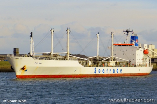
Vessel profile: Fuji Bay is a Refrigerated Cargo Ship with dimensions 148m x 21m.
This page combines live AIS, route history, probable destination signals, nearby traffic, and port activity for practical vessel monitoring.
The current position of vessel Fuji Bay is 34.46133 lat / 35.82983 lng. Updated: 2026-05-04 12:52:16 UTCNearest reference points:
- Near Tripoli
- Near Tartous
- Near Zouk
Currently sailing under the flag of Liberia ![]()
Fuji Bay built in 1990 year
Deadweight:
11540 tDetails:
Live Vessel Fuji Bay Analytics (details, animations, etc.)
Recent AIS points (UTC):
2026-05-04 12:52:16 UTC · 34.46133, 35.82983 · SOG 0 kn · COG 137°