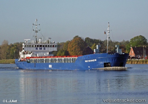
 VM WANHEIM
Current Status
Where is the vessel?
VM WANHEIM is currently in Near Burgas, based on AIS data received about 14h ago.
Latest AIS update:
Current position: 42.46228° N, 27.49308° E (Near Burgas)
Average speed (last 7 days): Loading…
Average speed (last 30 days): Loading…
Vessel profile: VM WANHEIM is a General Cargo with dimensions m x m.
This page combines live AIS, route history, probable destination signals, nearby traffic, and port activity for practical vessel monitoring.
The current position of vessel VM WANHEIM is 42.46228 lat / 27.49308 lng. Updated: 2026-06-12 13:34:40 UTCNearest reference points:
- Near Beloslav
- Near Ignatievo
- Near IGNEADA
Currently sailing under the flag of Nauru ![]()
Details:
Live Vessel VM WANHEIM Analytics (details, animations, etc.)
Recent AIS points (UTC):
2026-06-12 11:16:40 UTC · 42.46298, 27.49198 · SOG 0 kn · COG 76°2026-06-12 11:49:37 UTC · 42.46304, 27.49199 · SOG 0 kn · COG 80°
2026-06-12 13:01:38 UTC · 42.46237, 27.49350 · SOG 0 kn · COG 339°
2026-06-12 13:34:40 UTC · 42.46228, 27.49308 · SOG 0 kn · COG 0°