 vesseltracker.com
 Gulf
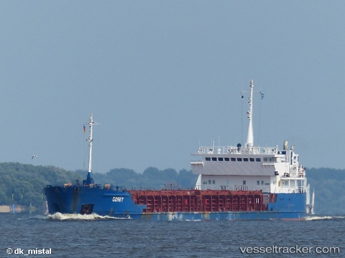
Gulf
Current Status
Where is the vessel?
Gulf is currently in 36 nm NW of BIZERTE, based on AIS data received less than 1h ago.
Latest AIS update:
Current position: 37.69529° N, 9.35844° E (36 nm NW of BIZERTE)
Average speed (last 7 days): Loading…
Average speed (last 30 days): Loading…
Vessel profile: Gulf is a Multi Purpose Carrier with dimensions 96m x 13m.
This page combines live AIS, route history, probable destination signals, nearby traffic, and port activity for practical vessel monitoring.
The current position of vessel Gulf is 37.69529 lat / 9.35844 lng. Updated: 2026-05-14 04:33:56 UTCNearest reference points:
- 33 nm SE of Setubal
- 35 nm S of Setubal
- Near Le Kram
Currently sailing under the flag of Antigua Barbuda ![]()
Gulf built in 2000 year
Deadweight:
4325 tDetails:
Live Vessel Gulf Analytics (details, animations, etc.)
Recent AIS points (UTC):
2026-05-13 23:14:08 UTC · 37.66857, 9.89705 · SOG 4.7 kn · COG 276°2026-05-13 23:14:08 UTC · 37.66857, 9.89705 · SOG 4.7 kn · COG 276°
2026-05-14 03:34:13 UTC · 37.69112, 9.45960 · SOG 5.1 kn · COG 272°
2026-05-14 04:33:56 UTC · 37.69529, 9.35844 · SOG 4.7 kn · COG 272°