 Ferula
Current Status
Where is the vessel?
Ferula is currently in 30 nm SE of Jubilee FPSO, based on AIS data received about 1238d ago.
Latest AIS update:
Current position: 4.39636° N, 2.46055° W (30 nm SE of Jubilee FPSO)
Average speed (last 7 days): Loading…
Average speed (last 30 days): Loading…
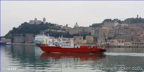
Vessel profile: Ferula is a Offshore Tug Supply Ship with dimensions 31m x 6m.
This page combines live AIS, route history, probable destination signals, nearby traffic, and port activity for practical vessel monitoring.
The current position of vessel Ferula is 4.39636 lat / -2.46055 lng. Updated: 2022-12-31 21:51:32 UTCNearest reference points:
- 13 nm W of Jubilee FPSO
- Near Takoradi
- Near Sekondi
Currently sailing under the flag of Italy ![]()
Ferula built in 1997 year
Deadweight:
100 tDetails:
Live Vessel Ferula Analytics (details, animations, etc.)
Recent AIS points (UTC):
2022-12-31 21:51:32 UTC · 4.39636, -2.46055 · SOG 3.9 kn · COG 0°