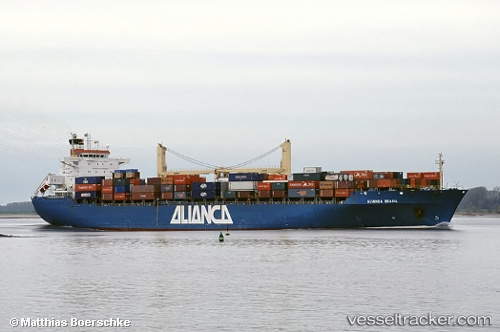
Alianca Brasil
Current StatusWhere is the vessel?
Alianca Brasil is currently in 54 nm S of Teluk Rubiah, based on AIS data received about 228d ago.
Latest AIS update:
Current position: 48.91565° N, 100.52351° E (54 nm S of Teluk Rubiah)
Average speed (last 7 days): Loading…
Average speed (last 30 days): Loading…
Vessel profile: Alianca Brasil is a Container Ship with dimensions 32m x 200m.
This page combines live AIS, route history, probable destination signals, nearby traffic, and port activity for practical vessel monitoring.
The current position of vessel Alianca Brasil is 48.91565 lat / 100.52351 lng. Updated: 2025-10-04 07:33:06 UTCDetails:
Live Vessel Alianca Brasil Analytics (details, animations, etc.)
Recent AIS points (UTC):
2025-10-04 07:33:06 UTC · 48.91565, 100.52351 · SOG 10.5 kn · COG 156°