 CAPE GAS
Current Status
Where is the vessel?
CAPE GAS is currently in 71 nm NE of Port Sultan, based on AIS data received about 465d ago.
Latest AIS update:
Current position: 24.37572° N, 59.62627° E (71 nm NE of Port Sultan)
Average speed (last 7 days): Loading…
Average speed (last 30 days): Loading…
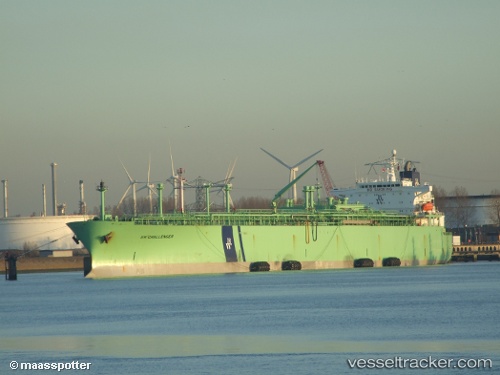
Vessel profile: CAPE GAS is a LPG Tanker with dimensions 36m x 224m.
This page combines live AIS, route history, probable destination signals, nearby traffic, and port activity for practical vessel monitoring.
The current position of vessel CAPE GAS is 24.37572 lat / 59.62627 lng. Updated: 2025-02-08 09:10:30 UTCNearest reference points:
- 59 nm S of Chah Bahar
- 23 nm NE of Qalhat
- 52 nm NE of SUR
Currently sailing under the flag of Comoros ![]()
CAPE GAS built in 1992 year
Deadweight:
56885 tDetails:
Live Vessel CAPE GAS Analytics (details, animations, etc.)
Recent AIS points (UTC):
2025-02-08 09:10:30 UTC · 24.37572, 59.62627 · SOG 12.3 kn · COG 292°