 CINDY
CINDY
Current Status
Where is the vessel?
CINDY is currently in 44 nm W of Tartous, based on AIS data received about 14h ago.
Latest AIS update:
Current position: 35.10343° N, 34.97669° E (44 nm W of Tartous)
Average speed (last 7 days): Loading…
Average speed (last 30 days): Loading…
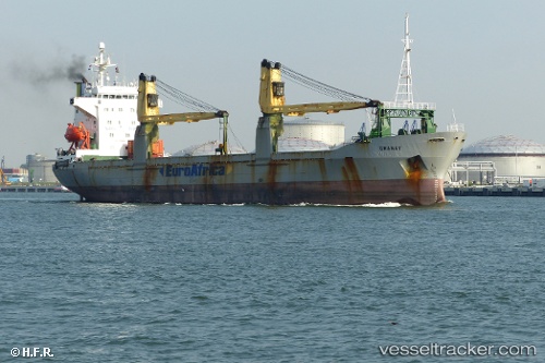
Vessel profile: CINDY is a General Cargo with dimensions m x m.
This page combines live AIS, route history, probable destination signals, nearby traffic, and port activity for practical vessel monitoring.
The current position of vessel CINDY is 35.10343 lat / 34.97669 lng. Updated: 2026-05-20 10:15:42 UTCNearest reference points:
- Near Tartous
- Near Al Latakia
- Near Al Ladhiqiyah
Currently sailing under the flag of Guinea ![]()
Details:
Live Vessel CINDY Analytics (details, animations, etc.)
Recent AIS points (UTC):
2026-05-20 07:36:13 UTC · 35.15121, 34.63754 · SOG 2.3 kn · COG 132°2026-05-20 08:15:12 UTC · 35.15792, 34.66757 · SOG 2.6 kn · COG 124°
2026-05-20 10:15:42 UTC · 35.10343, 34.97669 · SOG 11.1 kn · COG 114°
2026-05-20 10:15:42 UTC · 35.10343, 34.97669 · SOG 11.1 kn · COG 114°