 LOTUS
LOTUS
Current Status
Where is the vessel?
LOTUS is currently in 36 nm NW of PENICHE, based on AIS data received about 14h ago.
Latest AIS update:
Current position: 39.82662° N, 9.85384° W (36 nm NW of PENICHE)
Average speed (last 7 days): Loading…
Average speed (last 30 days): Loading…
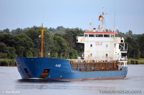
Vessel profile: LOTUS is a General Cargo with dimensions m x m.
This page combines live AIS, route history, probable destination signals, nearby traffic, and port activity for practical vessel monitoring.
The current position of vessel LOTUS is 39.82662 lat / -9.85384 lng. Updated: 2026-05-21 01:10:04 UTCNearest reference points:
- Near PENICHE
- Near Nazaré
- 52 nm W of Canas de Santa Maria
Currently sailing under the flag of Saint Kitts and Nevis ![]()
Details:
Live Vessel LOTUS Analytics (details, animations, etc.)
Recent AIS points (UTC):
2026-05-20 22:05:25 UTC · 39.39959, -9.86243 · SOG 7.8 kn · COG 10°2026-05-20 22:12:35 UTC · 39.41543, -9.86070 · SOG 8.1 kn · COG 11°
2026-05-21 00:15:52 UTC · 39.70036, -9.86184 · SOG 8.1 kn · COG 5°
2026-05-21 01:10:04 UTC · 39.82662, -9.85384 · SOG 8.6 kn · COG 5°