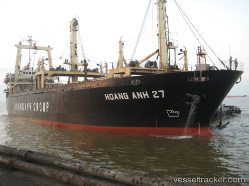
Royal 26
Current StatusWhere is the vessel?
Royal 26 is currently in 58 nm NE of Dung Quat Petroleum Port, based on AIS data received about 29d ago.
Latest AIS update:
Current position: 16.12305° N, 109.46654° E (58 nm NE of Dung Quat Petroleum Port)
Average speed (last 7 days): Loading…
Average speed (last 30 days): Loading…
Vessel profile: Royal 26 is a General Cargo Ship with dimensions 18m x 97m.
This page combines live AIS, route history, probable destination signals, nearby traffic, and port activity for practical vessel monitoring.
The current position of vessel Royal 26 is 16.12305 lat / 109.46654 lng. Updated: 2026-04-21 02:05:13 UTCNearest reference points:
- 23 nm E of Hai Son
- Near DUNG QUAT
- Near Thuan An
Details:
Live Vessel Royal 26 Analytics (details, animations, etc.)
Recent AIS points (UTC):
2026-04-21 02:05:13 UTC · 16.12305, 109.46654 · SOG 1.6 kn · COG -1°