 KEY VIENTO
Current Status
Where is the vessel?
KEY VIENTO is currently in Near Ansnes, based on AIS data received about 16h ago.
Latest AIS update:
Current position: 63.73900° N, 9.12097° E (Near Ansnes)
Average speed (last 7 days): Loading…
Average speed (last 30 days): Loading…
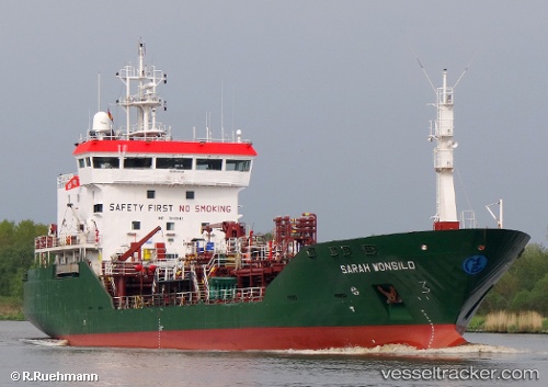
Vessel profile: KEY VIENTO is a Chemical Tanker with dimensions m x m.
This page combines live AIS, route history, probable destination signals, nearby traffic, and port activity for practical vessel monitoring.
The current position of vessel KEY VIENTO is 63.73900 lat / 9.12097 lng. Updated: 2026-05-20 13:50:28 UTCNearest reference points:
- Near Dyrvik
- Near Siholmen
- Near Dolmøy
Currently sailing under the flag of Norway ![]()
Details:
Live Vessel KEY VIENTO Analytics (details, animations, etc.)
Recent AIS points (UTC):
2026-05-20 10:29:28 UTC · 63.62597, 9.26576 · SOG 11.1 kn · COG 357°2026-05-20 11:50:08 UTC · 63.72964, 9.38554 · SOG 4.3 kn · COG 65°
2026-05-20 13:26:19 UTC · 63.73769, 9.18238 · SOG 4 kn · COG 274°
2026-05-20 13:50:28 UTC · 63.73900, 9.12097 · SOG 4.1 kn · COG 272°