 HATICE MUNUR
Current Status
Where is the vessel?
HATICE MUNUR is currently in Near Famagusta, based on AIS data received about 14h ago.
Latest AIS update:
Current position: 35.16868° N, 33.93314° E (Near Famagusta)
Average speed (last 7 days): Loading…
Average speed (last 30 days): Loading…
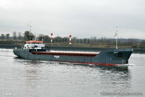
Vessel profile: HATICE MUNUR is a General Cargo with dimensions m x m.
This page combines live AIS, route history, probable destination signals, nearby traffic, and port activity for practical vessel monitoring.
The current position of vessel HATICE MUNUR is 35.16868 lat / 33.93314 lng. Updated: 2026-05-21 01:55:28 UTCNearest reference points:
- Near Larnaca
- 17 nm S of Vasilikos
- 15 nm SW of Yesilovacik
Currently sailing under the flag of Turkey ![]()
Details:
Live Vessel HATICE MUNUR Analytics (details, animations, etc.)
Recent AIS points (UTC):
2026-05-20 22:13:26 UTC · 35.16887, 33.93294 · SOG 0 kn · COG 211°2026-05-21 00:13:27 UTC · 35.16898, 33.93272 · SOG 0 kn · COG 194°
2026-05-21 00:58:28 UTC · 35.16885, 33.93301 · SOG 0 kn · COG 218°
2026-05-21 01:55:28 UTC · 35.16868, 33.93314 · SOG 0 kn · COG 231°