 Veronikiiv
Current Status
Where is the vessel?
Veronikiiv is currently in Near ASPROPYRGOS, based on AIS data received about 14h ago.
Latest AIS update:
Current position: 38.02703° N, 23.59606° E (Near ASPROPYRGOS)
Average speed (last 7 days): Loading…
Average speed (last 30 days): Loading…
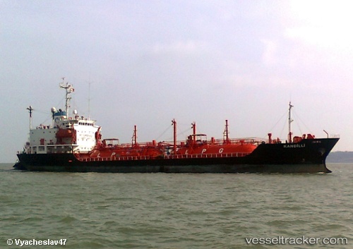
Vessel profile: Veronikiiv is a Lpg Tanker with dimensions 92m x 15m.
This page combines live AIS, route history, probable destination signals, nearby traffic, and port activity for practical vessel monitoring.
The current position of vessel Veronikiiv is 38.02703 lat / 23.59606 lng. Updated: 2026-05-21 02:02:07 UTCNearest reference points:
- Near Keratsínion
- Near PERAMA
- Near Drapetzona
Currently sailing under the flag of Greece ![]()
Veronikiiv built in 1991 year
Deadweight:
4240 tDetails:
Live Vessel Veronikiiv Analytics (details, animations, etc.)
Recent AIS points (UTC):
2026-05-20 22:11:04 UTC · 38.02702, 23.59605 · SOG 0 kn · COG 190°2026-05-21 00:17:03 UTC · 38.02704, 23.59606 · SOG 0 kn · COG 190°
2026-05-21 01:02:04 UTC · 38.02703, 23.59605 · SOG 0 kn · COG 190°
2026-05-21 02:02:07 UTC · 38.02703, 23.59606 · SOG 0 kn · COG 190°