 vesseltracker.com
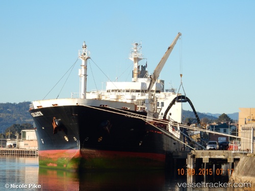
 Goliath
Current Status
Where is the vessel?
Goliath is currently in Near Melbourne, based on AIS data received less than 1h ago.
Latest AIS update:
Current position: 37.81985° S, 144.92438° E (Near Melbourne)
Average speed (last 7 days): Loading…
Average speed (last 30 days): Loading…
Vessel profile: Goliath is a Cement Carrier with dimensions 142m x 22m.
This page combines live AIS, route history, probable destination signals, nearby traffic, and port activity for practical vessel monitoring.
The current position of vessel Goliath is -37.81985 lat / 144.92438 lng. Updated: 2026-04-26 16:04:22 UTCNearest reference points:
- Near Spotswood
- Near Drysdale
- Near QUEENSCLIFF
Currently sailing under the flag of Australia ![]()
Goliath built in 1993 year
Deadweight:
15539 tDetails:
Live Vessel Goliath Analytics (details, animations, etc.)
Recent AIS points (UTC):
2026-04-26 13:16:22 UTC · -37.81985, 144.92438 · SOG 0 kn · COG 270°2026-04-26 14:18:55 UTC · -37.81985, 144.92439 · SOG 0 kn · COG 270°
2026-04-26 15:43:22 UTC · -37.81985, 144.92438 · SOG 0 kn · COG 270°
2026-04-26 16:04:22 UTC · -37.81985, 144.92438 · SOG 0 kn · COG 270°