 NS EXPLORER
Current Status
Where is the vessel?
NS EXPLORER is currently in Near Licata, based on AIS data received about 15h ago.
Latest AIS update:
Current position: 37.05281° N, 13.94315° E (Near Licata)
Average speed (last 7 days): Loading…
Average speed (last 30 days): Loading…
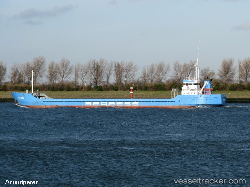
Vessel profile: NS EXPLORER is a General Cargo with dimensions m x m.
This page combines live AIS, route history, probable destination signals, nearby traffic, and port activity for practical vessel monitoring.
The current position of vessel NS EXPLORER is 37.05281 lat / 13.94315 lng. Updated: 2026-05-20 19:01:47 UTCNearest reference points:
- Near Licata
- Near Gela
- Near Scoglitti
Currently sailing under the flag of Belize ![]()
Details:
Live Vessel NS EXPLORER Analytics (details, animations, etc.)
Recent AIS points (UTC):
2026-05-20 16:22:10 UTC · 37.09425, 13.94135 · SOG 0 kn · COG 345°2026-05-20 16:25:08 UTC · 37.09425, 13.94135 · SOG 0 kn · COG 345°
2026-05-20 17:34:08 UTC · 37.09427, 13.94135 · SOG 0 kn · COG 343°
2026-05-20 19:01:47 UTC · 37.05281, 13.94315 · SOG 7.7 kn · COG 197°