 vesseltracker.com
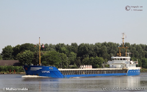
 Bon Vivant
Current Status
Where is the vessel?
Bon Vivant is currently in Near Bullu, based on AIS data received less than 1h ago.
Latest AIS update:
Current position: 57.03621° N, 24.08301° E (Near Bullu)
Average speed (last 7 days): Loading…
Average speed (last 30 days): Loading…
Vessel profile: Bon Vivant is a General Cargo Ship with dimensions 81m x 11m.
This page combines live AIS, route history, probable destination signals, nearby traffic, and port activity for practical vessel monitoring.
The current position of vessel Bon Vivant is 57.03621 lat / 24.08301 lng. Updated: 2026-05-15 10:24:23 UTCNearest reference points:
- Near Bullu
- Near Riga
- Near Ristna
Currently sailing under the flag of Latvia ![]()
Bon Vivant built in 1993 year
Deadweight:
2280 tDetails:
Live Vessel Bon Vivant Analytics (details, animations, etc.)
Recent AIS points (UTC):
2026-05-15 07:24:24 UTC · 57.03627, 24.08285 · SOG 0 kn · COG 221°2026-05-15 07:51:24 UTC · 57.03627, 24.08284 · SOG 0 kn · COG 220°
2026-05-15 09:39:25 UTC · 57.03626, 24.08287 · SOG 0 kn · COG 220°
2026-05-15 10:24:23 UTC · 57.03621, 24.08301 · SOG 0 kn · COG 220°