 KIVANC DARKOT
Current Status
Where is the vessel?
KIVANC DARKOT is currently in Near Famagusta, based on AIS data received about 5d ago.
Latest AIS update:
Current position: 35.13035° N, 33.94258° E (Near Famagusta)
Average speed (last 7 days): Loading…
Average speed (last 30 days): Loading…
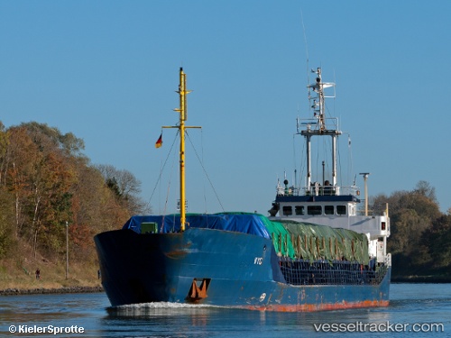
Vessel profile: KIVANC DARKOT is a General Cargo with dimensions m x m.
This page combines live AIS, route history, probable destination signals, nearby traffic, and port activity for practical vessel monitoring.
The current position of vessel KIVANC DARKOT is 35.13035 lat / 33.94258 lng. Updated: 2026-06-08 07:42:27 UTCNearest reference points:
- Near Larnaca
- 17 nm S of Vasilikos
- 31 nm SE of Vasilikos
Currently sailing under the flag of Turkey ![]()
Details:
Live Vessel KIVANC DARKOT Analytics (details, animations, etc.)
Recent AIS points (UTC):
2026-06-08 07:42:27 UTC · 35.13035, 33.94258 · SOG 0 kn · COG 321°2026-06-08 07:42:27 UTC · 35.13035, 33.94258 · SOG 0 kn · COG 321°
2026-06-08 07:42:27 UTC · 35.13035, 33.94258 · SOG 0 kn · COG 321°
2026-06-08 07:42:27 UTC · 35.13035, 33.94258 · SOG 0 kn · COG 321°