 vesseltracker.com
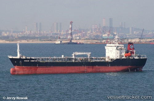
 MK ENERGY DUA
Current Status
Where is the vessel?
MK ENERGY DUA is currently in Near Pulau Indah, based on AIS data received about 15h ago.
Latest AIS update:
Current position: 2.80284° N, 101.32344° E (Near Pulau Indah)
Average speed (last 7 days): Loading…
Average speed (last 30 days): Loading…
Vessel profile: MK ENERGY DUA is a Oil Products Tanker with dimensions 19m x 120m.
This page combines live AIS, route history, probable destination signals, nearby traffic, and port activity for practical vessel monitoring.
The current position of vessel MK ENERGY DUA is 2.80284 lat / 101.32344 lng. Updated: 2026-05-17 19:45:26 UTCNearest reference points:
- Near Pulau Indah
- Near Carey Island Estate
- Near Banting
Currently sailing under the flag of Malaysia ![]()
MK ENERGY DUA built in 1996 year
Deadweight:
12085 tDetails:
Live Vessel MK ENERGY DUA Analytics (details, animations, etc.)
Recent AIS points (UTC):
2026-05-17 16:08:29 UTC · 2.80167, 101.32333 · SOG 0 kn · COG -1°2026-05-17 18:11:30 UTC · 2.80167, 101.32333 · SOG 0 kn · COG -1°
2026-05-17 19:14:30 UTC · 2.80167, 101.32333 · SOG 0 kn · COG -1°
2026-05-17 19:45:26 UTC · 2.80284, 101.32344 · SOG 0 kn · COG 107°