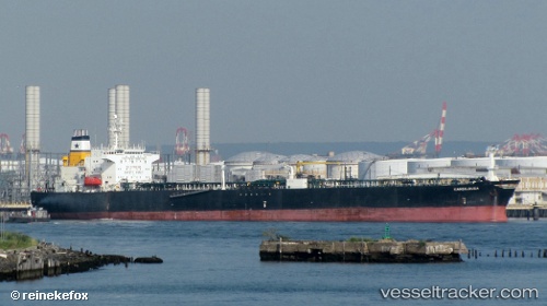
Golden Gulf
Current StatusWhere is the vessel?
Golden Gulf is currently in Near Küçükçekmece, based on AIS data received about 15h ago.
Latest AIS update:
Current position: 40.94617° N, 28.75478° E (Near Küçükçekmece)
Average speed (last 7 days): Loading…
Average speed (last 30 days): Loading…
Vessel profile: Golden Gulf is a Crude Oil Tanker with dimensions 32m x 183m.
This page combines live AIS, route history, probable destination signals, nearby traffic, and port activity for practical vessel monitoring.
The current position of vessel Golden Gulf is 40.94617 lat / 28.75478 lng. Updated: 2026-05-19 10:09:34 UTCNearest reference points:
- Near Küçükçekmece
- Near Kumport
- Near Ambarli
Details:
Live Vessel Golden Gulf Analytics (details, animations, etc.)
Recent AIS points (UTC):
2026-05-19 07:01:51 UTC · 40.94604, 28.75288 · SOG 0 kn · COG 138°2026-05-19 08:21:31 UTC · 40.94617, 28.75349 · SOG 0 kn · COG 155°
2026-05-19 10:07:02 UTC · 40.94617, 28.75473 · SOG 0 kn · COG 199°
2026-05-19 10:09:34 UTC · 40.94617, 28.75478 · SOG 0 kn · COG 201°