 Hav Tuna
Current Status
Where is the vessel?
Hav Tuna is currently in Near Kolby Kås, based on AIS data received about 15h ago.
Latest AIS update:
Current position: 55.71058° N, 10.40154° E (Near Kolby Kås)
Average speed (last 7 days): Loading…
Average speed (last 30 days): Loading…
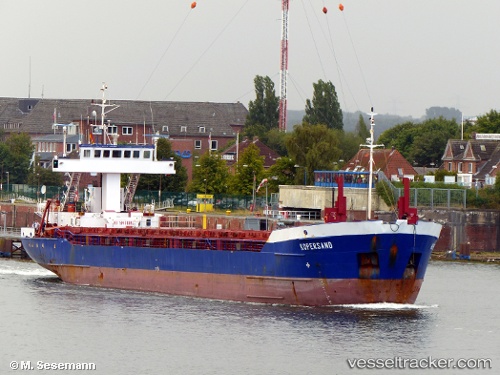
Vessel profile: Hav Tuna is a Multi Purpose Carrier with dimensions 88m x 12m.
This page combines live AIS, route history, probable destination signals, nearby traffic, and port activity for practical vessel monitoring.
The current position of vessel Hav Tuna is 55.71058 lat / 10.40154 lng. Updated: 2026-07-08 13:07:06 UTCNearest reference points:
- Near Horsens
- Near Lindholm Havn
- Near Faaborg
Currently sailing under the flag of Antigua Barbuda ![]()
Hav Tuna built in 1993 year
Deadweight:
3036 tDetails:
Live Vessel Hav Tuna Analytics (details, animations, etc.)
Recent AIS points (UTC):
2026-07-08 09:59:47 UTC · 55.49420, 9.54214 · SOG 9.4 kn · COG 86°2026-07-08 11:56:36 UTC · 55.63094, 10.04326 · SOG 11 kn · COG 62°
2026-07-08 11:58:16 UTC · 55.63327, 10.05125 · SOG 10.9 kn · COG 61°
2026-07-08 13:07:06 UTC · 55.71058, 10.40154 · SOG 11.2 kn · COG 71°