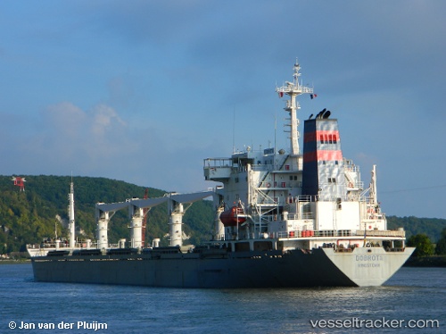
 JULIANNE
Current Status
Where is the vessel?
JULIANNE is currently in 29 nm SW of Cape Eleuthera, based on AIS data received about 15h ago.
Latest AIS update:
Current position: 24.58960° N, 76.81766° W (29 nm SW of Cape Eleuthera)
Average speed (last 7 days): Loading…
Average speed (last 30 days): Loading…
Vessel profile: JULIANNE is a Bulk Carrier with dimensions m x m.
This page combines live AIS, route history, probable destination signals, nearby traffic, and port activity for practical vessel monitoring.
The current position of vessel JULIANNE is 24.58960 lat / -76.81766 lng. Updated: 2026-05-22 02:08:48 UTCNearest reference points:
- 29 nm SW of Cape Eleuthera
- 30 nm SW of Cape Eleuthera
- Near Nassau
Currently sailing under the flag of Saint Vincent and the Grenadines ![]()
Details:
Live Vessel JULIANNE Analytics (details, animations, etc.)
Recent AIS points (UTC):
2026-05-21 21:35:48 UTC · 24.58965, -76.81766 · SOG 0 kn · COG -1°2026-05-21 22:05:48 UTC · 24.58967, -76.81768 · SOG 0 kn · COG -1°
2026-05-22 02:08:48 UTC · 24.58960, -76.81766 · SOG 0 kn · COG -1°
2026-05-22 02:08:48 UTC · 24.58960, -76.81766 · SOG 0 kn · COG -1°