 vesseltracker.com
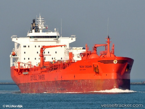
 BOW CEDAR
Current Status
Where is the vessel?
BOW CEDAR is currently in Near Beilun, based on AIS data received about 5d ago.
Latest AIS update:
Current position: 29.93691° N, 121.86587° E (Near Beilun)
Average speed (last 7 days): Loading…
Average speed (last 30 days): Loading…
Vessel profile: BOW CEDAR is a Chemical/Oil Products Tanker with dimensions 183m x 32m.
This page combines live AIS, route history, probable destination signals, nearby traffic, and port activity for practical vessel monitoring.
The current position of vessel BOW CEDAR is 29.93691 lat / 121.86587 lng. Updated: 2026-05-11 03:50:51 UTCNearest reference points:
- Near Beilun
- Near Daxie Pt
- Near Ningbo Pt
Currently sailing under the flag of Marshall Islands ![]()
BOW CEDAR built in 1996 year
Deadweight:
37455 tDetails:
Live Vessel BOW CEDAR Analytics (details, animations, etc.)
Recent AIS points (UTC):
2026-05-11 03:50:51 UTC · 29.93691, 121.86587 · SOG 0 kn · COG 289°2026-05-11 03:50:51 UTC · 29.93691, 121.86587 · SOG 0 kn · COG 289°
2026-05-11 03:50:51 UTC · 29.93691, 121.86587 · SOG 0 kn · COG 289°
2026-05-11 03:50:51 UTC · 29.93691, 121.86587 · SOG 0 kn · COG 289°