 Belema Sweet
Current Status
Where is the vessel?
Belema Sweet is currently in 69 nm SE of Xianlang, based on AIS data received about 7d ago.
Latest AIS update:
Current position: 35.17064° N, 121.21749° E (69 nm SE of Xianlang)
Average speed (last 7 days): Loading…
Average speed (last 30 days): Loading…
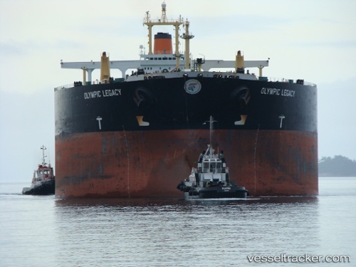
Vessel profile: Belema Sweet is a Crude Oil Tanker with dimensions 332m x 58m.
This page combines live AIS, route history, probable destination signals, nearby traffic, and port activity for practical vessel monitoring.
The current position of vessel Belema Sweet is 35.17064 lat / 121.21749 lng. Updated: 2026-05-13 19:00:05 UTCNearest reference points:
- 71 nm SE of Nudao
- 62 nm NE of CHENJIAGANG
- 81 nm E of CHENJIAGANG
Currently sailing under the flag of Marshall Is ![]()
Belema Sweet built in 1996 year
Deadweight:
302789 tDetails:
Live Vessel Belema Sweet Analytics (details, animations, etc.)
Recent AIS points (UTC):
2026-05-13 19:00:05 UTC · 35.17064, 121.21749 · SOG 0.1 kn · COG 70°2026-05-13 19:00:05 UTC · 35.17064, 121.21749 · SOG 0.1 kn · COG 70°
2026-05-13 19:00:05 UTC · 35.17064, 121.21749 · SOG 0.1 kn · COG 70°
2026-05-13 19:00:05 UTC · 35.17064, 121.21749 · SOG 0.1 kn · COG 70°