 STAR VOYAGER
Current Status
Where is the vessel?
STAR VOYAGER is currently in 25 nm S of Slipi, based on AIS data received about 14h ago.
Latest AIS update:
Current position: 5.78782° N, 106.63980° E (25 nm S of Slipi)
Average speed (last 7 days): Loading…
Average speed (last 30 days): Loading…
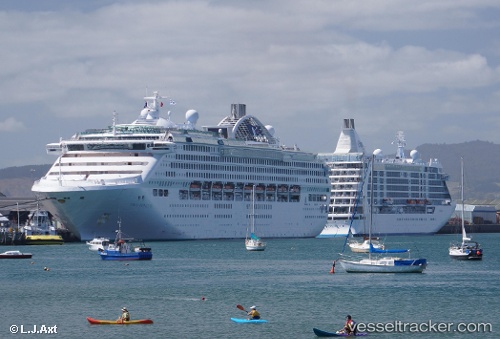
Vessel profile: STAR VOYAGER is a Passengers Ship with dimensions m x m.
This page combines live AIS, route history, probable destination signals, nearby traffic, and port activity for practical vessel monitoring.
The current position of vessel STAR VOYAGER is 5.78782 lat / 106.63980 lng. Updated: 2026-05-20 09:44:42 UTCNearest reference points:
- 36 nm SW of Slipi
- 46 nm E of Kakap Natuna Terminal
- 45 nm E of Kakap Natuna Terminal
Currently sailing under the flag of Bahamas ![]()
Details:
Live Vessel STAR VOYAGER Analytics (details, animations, etc.)
Recent AIS points (UTC):
2026-05-20 06:11:20 UTC · 6.77196, 107.13209 · SOG 18.7 kn · COG 198°2026-05-20 06:55:01 UTC · 6.57355, 107.02367 · SOG 18.5 kn · COG 207°
2026-05-20 06:55:01 UTC · 6.57355, 107.02367 · SOG 18.5 kn · COG 207°
2026-05-20 09:44:42 UTC · 5.78782, 106.63980 · SOG 18.4 kn · COG 204°