 STONEFISH
Current Status
Where is the vessel?
STONEFISH is currently in Near Ad Dubayyah, based on AIS data received about 14h ago.
Latest AIS update:
Current position: 33.94640° N, 35.55905° E (Near Ad Dubayyah)
Average speed (last 7 days): Loading…
Average speed (last 30 days): Loading…
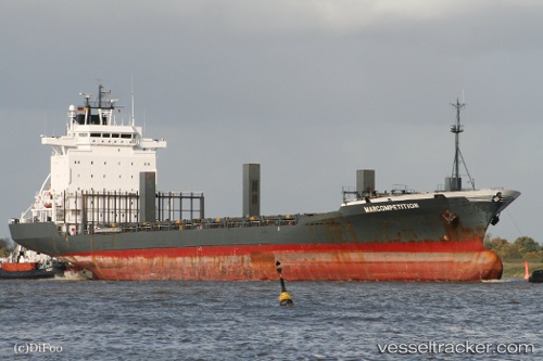
Vessel profile: STONEFISH is a Container Ship with dimensions m x m.
This page combines live AIS, route history, probable destination signals, nearby traffic, and port activity for practical vessel monitoring.
The current position of vessel STONEFISH is 33.94640 lat / 35.55905 lng. Updated: 2026-05-22 09:59:17 UTCNearest reference points:
- Near DBAIYEH
- Near Zouk
- Near Tripoli
Currently sailing under the flag of Panama ![]()
Details:
Live Vessel STONEFISH Analytics (details, animations, etc.)
Recent AIS points (UTC):
2026-05-22 06:22:27 UTC · 33.94702, 35.55858 · SOG 0.2 kn · COG 226°2026-05-22 07:22:31 UTC · 33.94643, 35.55911 · SOG 0.1 kn · COG 250°
2026-05-22 07:55:28 UTC · 33.94666, 35.55900 · SOG 0.3 kn · COG 244°
2026-05-22 09:59:17 UTC · 33.94640, 35.55905 · SOG 0.1 kn · COG 243°