 MED CORLU
Current Status
Where is the vessel?
MED CORLU is currently in 28 nm NW of UNYE, based on AIS data received about 3d ago.
Latest AIS update:
Current position: 41.51303° N, 37.02354° E (28 nm NW of UNYE)
Average speed (last 7 days): Loading…
Average speed (last 30 days): Loading…
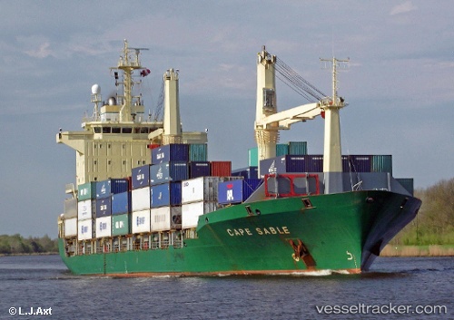
Vessel profile: MED CORLU is a Container Ship with dimensions m x m.
This page combines live AIS, route history, probable destination signals, nearby traffic, and port activity for practical vessel monitoring.
The current position of vessel MED CORLU is 41.51303 lat / 37.02354 lng. Updated: 2026-05-18 04:49:50 UTCNearest reference points:
- 15 nm W of UNYE
- Near Samsun
- Near Fatsa
Currently sailing under the flag of Turkey ![]()
MED CORLU built in 1995 year
Deadweight:
13623 tDetails:
Live Vessel MED CORLU Analytics (details, animations, etc.)
Recent AIS points (UTC):
2026-05-18 04:49:50 UTC · 41.51303, 37.02354 · SOG 9.9 kn · COG 116°2026-05-18 04:49:50 UTC · 41.51303, 37.02354 · SOG 9.9 kn · COG 116°
2026-05-18 04:49:50 UTC · 41.51303, 37.02354 · SOG 9.9 kn · COG 116°
2026-05-18 04:49:50 UTC · 41.51303, 37.02354 · SOG 9.9 kn · COG 116°