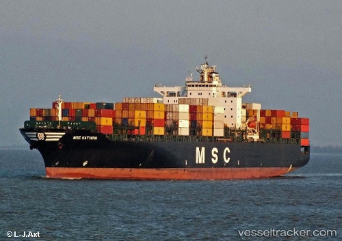
Msc Katyayni
Current StatusWhere is the vessel?
Msc Katyayni is currently in 82 nm SW of Villa Cisneros, based on AIS data received about 15h ago.
Latest AIS update:
Current position: 22.71852° N, 17.12825° W (82 nm SW of Villa Cisneros)
Average speed (last 7 days): Loading…
Average speed (last 30 days): Loading…
Vessel profile: Msc Katyayni is a Container Ship with dimensions 40m x 275m.
This page combines live AIS, route history, probable destination signals, nearby traffic, and port activity for practical vessel monitoring.
The current position of vessel Msc Katyayni is 22.71852 lat / -17.12825 lng. Updated: 2026-06-17 13:57:16 UTCNearest reference points:
- 41 nm NW of Nouadhibou
- Near DAKHLA
- 68 nm NW of Ad Dakhla
Details:
Live Vessel Msc Katyayni Analytics (details, animations, etc.)
Recent AIS points (UTC):
2026-06-17 10:12:21 UTC · 21.69140, -17.52552 · SOG 17.9 kn · COG 19°2026-06-17 12:19:26 UTC · 22.27418, -17.30628 · SOG 17.2 kn · COG 21°
2026-06-17 13:07:02 UTC · 22.48872, -17.21905 · SOG 17.2 kn · COG 21°
2026-06-17 13:57:16 UTC · 22.71852, -17.12825 · SOG 17.5 kn · COG 20°