 GREAT GLORY
Current Status
Where is the vessel?
GREAT GLORY is currently in 10 nm SE of Mersin, based on AIS data received about 15h ago.
Latest AIS update:
Current position: 36.63911° N, 34.73291° E (10 nm SE of Mersin)
Average speed (last 7 days): Loading…
Average speed (last 30 days): Loading…
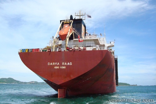
Vessel profile: GREAT GLORY is a Bulk Carrier with dimensions m x m.
This page combines live AIS, route history, probable destination signals, nearby traffic, and port activity for practical vessel monitoring.
The current position of vessel GREAT GLORY is 36.63911 lat / 34.73291 lng. Updated: 2026-05-22 04:15:51 UTCNearest reference points:
- Near Mersin
- Near Mersin-Free Zone
- Near YUMURTALIC
Currently sailing under the flag of Saint Kitts and Nevis ![]()
Details:
Live Vessel GREAT GLORY Analytics (details, animations, etc.)
Recent AIS points (UTC):
2026-05-22 01:10:02 UTC · 36.80203, 34.65028 · SOG 0 kn · COG 359°2026-05-22 02:04:58 UTC · 36.80201, 34.65028 · SOG 0 kn · COG 359°
2026-05-22 03:31:02 UTC · 36.75761, 34.66600 · SOG 10.7 kn · COG 158°
2026-05-22 04:15:51 UTC · 36.63911, 34.73291 · SOG 10.8 kn · COG 146°