 AMGU
AMGU
Current Status
Where is the vessel?
AMGU is currently in Near Jingjiang, based on AIS data received about 14h ago.
Latest AIS update:
Current position: 31.02930° N, 122.58227° E (Near Jingjiang)
Average speed (last 7 days): Loading…
Average speed (last 30 days): Loading…
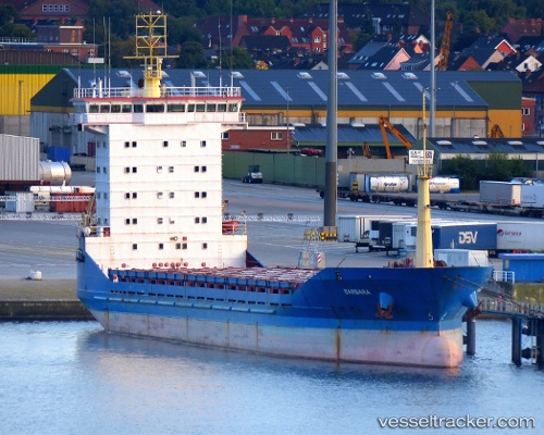
Vessel profile: AMGU is a General Cargo with dimensions m x m.
This page combines live AIS, route history, probable destination signals, nearby traffic, and port activity for practical vessel monitoring.
The current position of vessel AMGU is 31.02930 lat / 122.58227 lng. Updated: 2026-05-20 11:25:03 UTCNearest reference points:
- 14 nm N of Lü-hua Shan
- Near Lü-hua Shan
- 15 nm NE of Jingjiang
Currently sailing under the flag of Tanzania ![]()
Details:
Live Vessel AMGU Analytics (details, animations, etc.)
Recent AIS points (UTC):
2026-05-20 07:51:03 UTC · 31.03078, 122.58330 · SOG 1 kn · COG 243°2026-05-20 10:05:03 UTC · 31.02968, 122.58300 · SOG 0.2 kn · COG 297°
2026-05-20 10:11:01 UTC · 31.02965, 122.58297 · SOG 0.1 kn · COG 299°
2026-05-20 11:25:03 UTC · 31.02930, 122.58227 · SOG 1.1 kn · COG 341°