 Andrea L
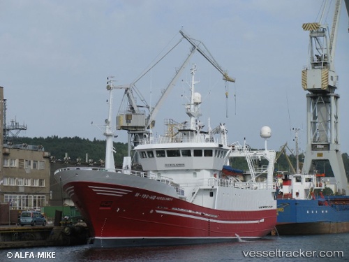
Current Status
Where is the vessel?
Andrea L is currently in Near FOSNAVAAG, based on AIS data received about 14h ago.
Latest AIS update:
Current position: 62.36234° N, 5.66119° E (Near FOSNAVAAG)
Average speed (last 7 days): Loading…
Average speed (last 30 days): Loading…
Vessel profile: Andrea L is a Fish Carrier with dimensions 57m x 12m.
This page combines live AIS, route history, probable destination signals, nearby traffic, and port activity for practical vessel monitoring.
The current position of vessel Andrea L is 62.36234 lat / 5.66119 lng. Updated: 2026-05-19 10:27:19 UTCNearest reference points:
- Near Larsnes
- Near Gursken
- Near Alesund
Currently sailing under the flag of Norway ![]()
Andrea L built in 1996 year
Deadweight:
400 tDetails:
Live Vessel Andrea L Analytics (details, animations, etc.)
Recent AIS points (UTC):
2026-05-19 07:57:42 UTC · 62.36234, 5.66117 · SOG 0 kn · COG 321°2026-05-19 08:07:04 UTC · 62.36233, 5.66116 · SOG 0 kn · COG 322°
2026-05-19 10:08:03 UTC · 62.36233, 5.66117 · SOG 0 kn · COG 320°
2026-05-19 10:27:19 UTC · 62.36234, 5.66119 · SOG 0 kn · COG 321°