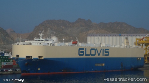
 Glovis Phoenix
Current Status
Where is the vessel?
Glovis Phoenix is currently in 60 nm SE of Seongsan-po, based on AIS data received about 16h ago.
Latest AIS update:
Current position: 32.95950° N, 127.95959° E (60 nm SE of Seongsan-po)
Average speed (last 7 days): Loading…
Average speed (last 30 days): Loading…
Vessel profile: Glovis Phoenix is a Vehicles Carrier with dimensions 184m x 184m.
This page combines live AIS, route history, probable destination signals, nearby traffic, and port activity for practical vessel monitoring.
The current position of vessel Glovis Phoenix is 32.95950 lat / 127.95959 lng. Updated: 2026-05-22 19:44:47 UTCNearest reference points:
- 10 nm E of Seongsan-po
- 63 nm SE of Seogwipo
- 35 nm E of Geomundo
Currently sailing under the flag of Korea ![]()
Glovis Phoenix built in 1995 year
Deadweight:
13292 tDetails:
Live Vessel Glovis Phoenix Analytics (details, animations, etc.)
Recent AIS points (UTC):
2026-05-22 15:57:34 UTC · 32.63320, 127.70636 · SOG 5.4 kn · COG -1°2026-05-22 15:57:34 UTC · 32.63320, 127.70636 · SOG 5.4 kn · COG -1°
2026-05-22 19:44:47 UTC · 32.95950, 127.95959 · SOG 6.1 kn · COG 38°
2026-05-22 19:44:47 UTC · 32.95950, 127.95959 · SOG 6.1 kn · COG 38°