 KLARA
KLARA
Current Status
Where is the vessel?
KLARA is currently in 14 nm NE of Wangerooge, based on AIS data received about 14h ago.
Latest AIS update:
Current position: 53.97880° N, 8.14718° E (14 nm NE of Wangerooge)
Average speed (last 7 days): Loading…
Average speed (last 30 days): Loading…
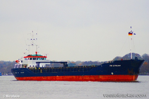
Vessel profile: KLARA is a General Cargo with dimensions m x m.
This page combines live AIS, route history, probable destination signals, nearby traffic, and port activity for practical vessel monitoring.
The current position of vessel KLARA is 53.9788 lat / 8.14718 lng. Updated: 2026-05-20 19:03:57 UTCNearest reference points:
- 10 nm E of Wangerooge
- Near Wangerooge
- Near HOOKSIEL
Currently sailing under the flag of Germany ![]()
Details:
Live Vessel KLARA Analytics (details, animations, etc.)
Recent AIS points (UTC):
2026-05-20 16:25:18 UTC · 53.61370, 8.48880 · SOG 11.6 kn · COG 316°2026-05-20 16:26:01 UTC · 53.61530, 8.48642 · SOG 11.5 kn · COG 313°
2026-05-20 17:38:12 UTC · 53.78320, 8.15863 · SOG 14 kn · COG 322°
2026-05-20 19:03:57 UTC · 53.97880, 8.14718 · SOG 10 kn · COG 76°