 vesseltracker.com
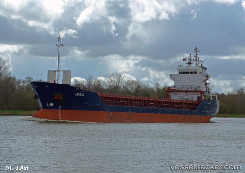
 KEVSER S
Current Status
Where is the vessel?
KEVSER S is currently in 26 nm NE of Skikda, based on AIS data received less than 1h ago.
Latest AIS update:
Current position: 37.29719° N, 7.14632° E (26 nm NE of Skikda)
Average speed (last 7 days): Loading…
Average speed (last 30 days): Loading…
Vessel profile: KEVSER S is a General Cargo Ship with dimensions 90m x 13m.
This page combines live AIS, route history, probable destination signals, nearby traffic, and port activity for practical vessel monitoring.
The current position of vessel KEVSER S is 37.29719 lat / 7.14632 lng. Updated: 2026-05-14 11:37:13 UTCNearest reference points:
- Near Skikid
- Near Annaba
- Near Carmona
Currently sailing under the flag of St Vincent and Grenadines ![]()
KEVSER S built in 1996 year
Deadweight:
4746 tDetails:
Live Vessel KEVSER S Analytics (details, animations, etc.)
Recent AIS points (UTC):
2026-05-13 19:47:12 UTC · 37.52747, 9.69859 · SOG 6.5 kn · COG 248°2026-05-14 10:10:43 UTC · 37.26831, 7.43333 · SOG 9.2 kn · COG 279°
2026-05-14 10:22:41 UTC · 37.27310, 7.39537 · SOG 9.2 kn · COG 280°
2026-05-14 11:37:13 UTC · 37.29719, 7.14632 · SOG 9.3 kn · COG 265°