 LOGIMAR II
Current Status
Where is the vessel?
LOGIMAR II is currently in Near Puerto Montt, based on AIS data received about 14h ago.
Latest AIS update:
Current position: 41.51985° S, 73.01875° W (Near Puerto Montt)
Average speed (last 7 days): Loading…
Average speed (last 30 days): Loading…
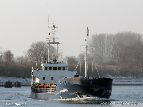
Vessel profile: LOGIMAR II is a General Cargo Ship with dimensions 11m x 81m.
This page combines live AIS, route history, probable destination signals, nearby traffic, and port activity for practical vessel monitoring.
The current position of vessel LOGIMAR II is -41.51985 lat / -73.01875 lng. Updated: 2026-05-20 13:31:28 UTCNearest reference points:
- Near Puerto Montt
- Near Chonchi
- Near Quellón (Puerto Quellón)
Currently sailing under the flag of Chile ![]()
LOGIMAR II built in 1994 year
Deadweight:
2300 tDetails:
Live Vessel LOGIMAR II Analytics (details, animations, etc.)
Recent AIS points (UTC):
2026-05-20 10:19:26 UTC · -41.51939, -73.01842 · SOG 0.1 kn · COG 285°2026-05-20 10:22:33 UTC · -41.51931, -73.01838 · SOG 0.1 kn · COG 279°
2026-05-20 12:19:53 UTC · -41.51942, -73.01835 · SOG 0 kn · COG 281°
2026-05-20 13:31:28 UTC · -41.51985, -73.01875 · SOG 0 kn · COG 327°