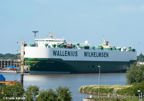
 DON CARLOS
Current Status
Where is the vessel?
DON CARLOS is currently in Near ZHOUSHAN, based on AIS data received about 15h ago.
Latest AIS update:
Current position: 29.93875° N, 122.26001° E (Near ZHOUSHAN)
Average speed (last 7 days): Loading…
Average speed (last 30 days): Loading…
Vessel profile: DON CARLOS is a Vehicles Carrier with dimensions m x m.
This page combines live AIS, route history, probable destination signals, nearby traffic, and port activity for practical vessel monitoring.
The current position of vessel DON CARLOS is 29.93875 lat / 122.26001 lng. Updated: 2026-05-20 19:06:49 UTCNearest reference points:
- Near ZHOUSHAN
- Near Majistan/Zhoushan
Currently sailing under the flag of Norway ![]()
Details:
Live Vessel DON CARLOS Analytics (details, animations, etc.)
Recent AIS points (UTC):
2026-05-20 15:48:43 UTC · 29.93876, 122.26001 · SOG 0 kn · COG 288°2026-05-20 17:09:44 UTC · 29.93873, 122.26002 · SOG 0 kn · COG 288°
2026-05-20 18:18:40 UTC · 29.93873, 122.25999 · SOG 0 kn · COG 288°
2026-05-20 19:06:49 UTC · 29.93875, 122.26001 · SOG 0 kn · COG 288°