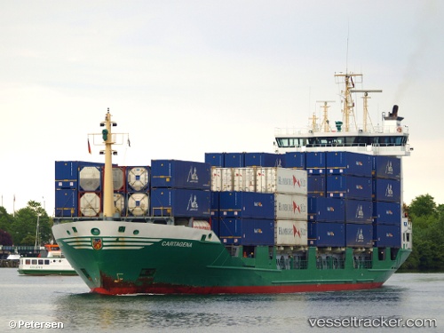
Viet Thuan Sky
Current StatusWhere is the vessel?
Viet Thuan Sky is currently in Near Ky Ha Quang Nam Terminal, based on AIS data received about 15h ago.
Latest AIS update:
Current position: 15.46093° N, 108.74118° E (Near Ky Ha Quang Nam Terminal)
Average speed (last 7 days): Loading…
Average speed (last 30 days): Loading…
Vessel profile: Viet Thuan Sky is a Bulk Carrier with dimensions 31m x 186m.
This page combines live AIS, route history, probable destination signals, nearby traffic, and port activity for practical vessel monitoring.
The current position of vessel Viet Thuan Sky is 15.46093 lat / 108.74118 lng. Updated: 2026-05-21 03:23:08 UTCNearest reference points:
- Near DUNG QUAT
- Near Thuan An
- 23 nm E of Hai Son
Details:
Live Vessel Viet Thuan Sky Analytics (details, animations, etc.)
Recent AIS points (UTC):
2026-05-21 01:50:07 UTC · 15.46120, 108.74387 · SOG 0.1 kn · COG 216°2026-05-21 01:50:07 UTC · 15.46120, 108.74387 · SOG 0.1 kn · COG 216°
2026-05-21 03:23:08 UTC · 15.46093, 108.74118 · SOG 0.1 kn · COG 126°
2026-05-21 03:23:08 UTC · 15.46093, 108.74118 · SOG 0.1 kn · COG 126°