 SHRIGANESHA
Current Status
Where is the vessel?
SHRIGANESHA is currently in 12 nm NE of Bourda, based on AIS data received about 14h ago.
Latest AIS update:
Current position: 6.98353° N, 58.04740° W (12 nm NE of Bourda)
Average speed (last 7 days): Loading…
Average speed (last 30 days): Loading…
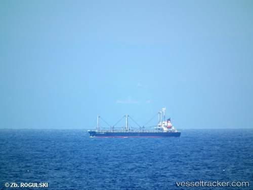
Vessel profile: SHRIGANESHA is a General Cargo with dimensions m x m.
This page combines live AIS, route history, probable destination signals, nearby traffic, and port activity for practical vessel monitoring.
The current position of vessel SHRIGANESHA is 6.98353 lat / -58.04740 lng. Updated: 2026-05-23 03:31:54 UTCNearest reference points:
- 57 nm NE of Adventure
- 38 nm NW of Jarikaba
Currently sailing under the flag of Tanzania ![]()
Details:
Live Vessel SHRIGANESHA Analytics (details, animations, etc.)
Recent AIS points (UTC):
2026-05-22 23:55:54 UTC · 6.98318, -58.04755 · SOG 0.1 kn · COG 111°2026-05-23 00:28:52 UTC · 6.98330, -58.04752 · SOG 0.2 kn · COG 115°
2026-05-23 02:07:54 UTC · 6.98340, -58.04747 · SOG 0.2 kn · COG 120°
2026-05-23 03:31:54 UTC · 6.98353, -58.04740 · SOG 0.4 kn · COG 128°