 ANGARA
Current Status
Where is the vessel?
ANGARA is currently in 16 nm N of HITAKATSU, based on AIS data received about 15h ago.
Latest AIS update:
Current position: 34.91000° N, 129.54333° E (16 nm N of HITAKATSU)
Average speed (last 7 days): Loading…
Average speed (last 30 days): Loading…
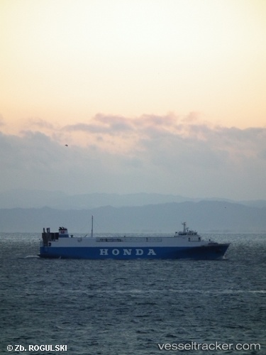
Vessel profile: ANGARA is a Vehicles Carrier with dimensions 17m x 115m.
This page combines live AIS, route history, probable destination signals, nearby traffic, and port activity for practical vessel monitoring.
The current position of vessel ANGARA is 34.91000 lat / 129.54333 lng. Updated: 2026-05-20 19:04:20 UTCNearest reference points:
- 27 nm SE of ONSAN
- 15 nm SE of Ulsan
- Near Gijang-gun/Busan
Currently sailing under the flag of Sierra leone ![]()
ANGARA built in 1995 year
Deadweight:
2682 tDetails:
Live Vessel ANGARA Analytics (details, animations, etc.)
Recent AIS points (UTC):
2026-05-20 15:49:14 UTC · 34.89667, 129.56667 · SOG 1 kn · COG -1°2026-05-20 17:01:09 UTC · 34.89902, 129.54916 · SOG 0.9 kn · COG 313°
2026-05-20 18:13:19 UTC · 34.90500, 129.54333 · SOG 0 kn · COG -1°
2026-05-20 19:04:20 UTC · 34.91000, 129.54333 · SOG 0 kn · COG -1°