 Hav Streym
Current Status
Where is the vessel?
Hav Streym is currently in Near Szczecin, based on AIS data received about 14h ago.
Latest AIS update:
Current position: 53.44595° N, 14.58353° E (Near Szczecin)
Average speed (last 7 days): Loading…
Average speed (last 30 days): Loading…
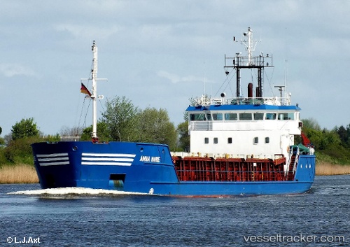
Vessel profile: Hav Streym is a General Cargo Ship with dimensions 83m x 83m.
This page combines live AIS, route history, probable destination signals, nearby traffic, and port activity for practical vessel monitoring.
The current position of vessel Hav Streym is 53.44595 lat / 14.58353 lng. Updated: 2026-06-24 04:24:29 UTCNearest reference points:
- Near WOLGAST
- Near PEENEMUNDE
- Near KOLOBRZEG
Currently sailing under the flag of Faroe Is ![]()
Hav Streym built in 1996 year
Deadweight:
3405 tDetails:
Live Vessel Hav Streym Analytics (details, animations, etc.)
Recent AIS points (UTC):
2026-06-23 23:33:31 UTC · 53.44583, 14.58364 · SOG 0 kn · COG 17°2026-06-24 02:15:27 UTC · 53.44589, 14.58358 · SOG 0 kn · COG 17°
2026-06-24 02:21:22 UTC · 53.44585, 14.58351 · SOG 0 kn · COG 16°
2026-06-24 04:24:29 UTC · 53.44595, 14.58353 · SOG 0 kn · COG 17°