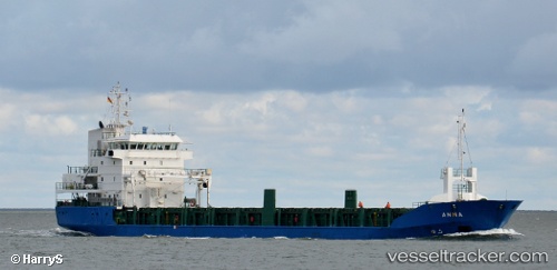
Laura
Current StatusWhere is the vessel?
Laura is currently in Near Mombasa, based on AIS data received about 15h ago.
Latest AIS update:
Current position: 4.06618° S, 39.64479° E (Near Mombasa)
Average speed (last 7 days): Loading…
Average speed (last 30 days): Loading…
Vessel profile: Laura is a Multi Purpose Carrier with dimensions 20m x 100m.
This page combines live AIS, route history, probable destination signals, nearby traffic, and port activity for practical vessel monitoring.
The current position of vessel Laura is -4.06618 lat / 39.64479 lng. Updated: 2026-05-20 16:14:15 UTCNearest reference points:
- Near Mombasa
- 11 nm SE of Mombasa
Details:
Live Vessel Laura Analytics (details, animations, etc.)
Recent AIS points (UTC):
2026-05-20 13:04:56 UTC · -4.06612, 39.64482 · SOG 0 kn · COG -1°2026-05-20 13:52:24 UTC · -4.06614, 39.64486 · SOG 0.2 kn · COG -1°
2026-05-20 15:56:15 UTC · -4.06615, 39.64479 · SOG 0 kn · COG -1°
2026-05-20 16:14:15 UTC · -4.06618, 39.64479 · SOG 0 kn · COG -1°