 vesseltracker.com
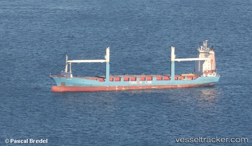
 Leyla Kalkavan
Current Status
Where is the vessel?
Leyla Kalkavan is currently in 12 nm SW of Kumport, based on AIS data received about 1h ago.
Latest AIS update:
Current position: 40.77075° N, 28.71529° E (12 nm SW of Kumport)
Average speed (last 7 days): Loading…
Average speed (last 30 days): Loading…
Vessel profile: Leyla Kalkavan is a Container Ship with dimensions 149m x 22m.
This page combines live AIS, route history, probable destination signals, nearby traffic, and port activity for practical vessel monitoring.
The current position of vessel Leyla Kalkavan is 40.77075 lat / 28.71529 lng. Updated: 2026-04-24 23:32:07 UTCNearest reference points:
- 16 nm S of Kumport
- Near Küçükçekmece
- 17 nm S of Kumport
Currently sailing under the flag of Turkey ![]()
Leyla Kalkavan built in 1997 year
Deadweight:
12123 tDetails:
Live Vessel Leyla Kalkavan Analytics (details, animations, etc.)
Recent AIS points (UTC):
2026-04-24 20:00:35 UTC · 40.95675, 28.72315 · SOG 0 kn · COG 87°2026-04-24 22:01:28 UTC · 40.95688, 28.72358 · SOG 0.4 kn · COG 93°
2026-04-24 22:13:47 UTC · 40.95709, 28.72471 · SOG 0.2 kn · COG 90°
2026-04-24 23:32:07 UTC · 40.77075, 28.71529 · SOG 12.4 kn · COG 216°