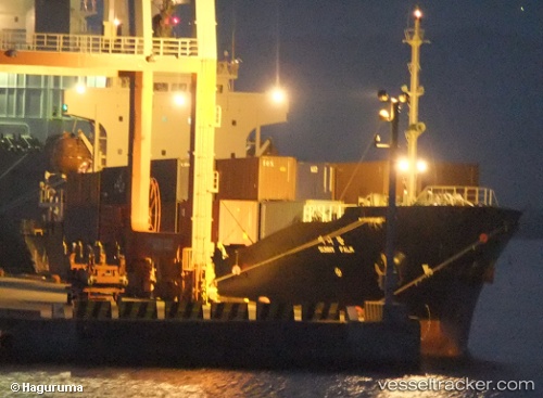
 Sunny Palm
Current Status
Where is the vessel?
Sunny Palm is currently in Near Shimonoseki, based on AIS data received about 14h ago.
Latest AIS update:
Current position: 33.96268° N, 130.95828° E (Near Shimonoseki)
Average speed (last 7 days): Loading…
Average speed (last 30 days): Loading…
Vessel profile: Sunny Palm is a Container Ship with dimensions 107m x 17m.
This page combines live AIS, route history, probable destination signals, nearby traffic, and port activity for practical vessel monitoring.
The current position of vessel Sunny Palm is 33.96268 lat / 130.95828 lng. Updated: 2026-05-25 01:34:32 UTCNearest reference points:
- Near Shimonoseki
- Near Kokura
- Near Kanmon
Currently sailing under the flag of Korea ![]()
Sunny Palm built in 1996 year
Deadweight:
5848 tDetails:
Live Vessel Sunny Palm Analytics (details, animations, etc.)
Recent AIS points (UTC):
2026-05-24 23:06:09 UTC · 33.96487, 131.01277 · SOG 0 kn · COG 295°2026-05-24 23:54:09 UTC · 33.96490, 131.01276 · SOG 0 kn · COG 296°
2026-05-25 01:27:52 UTC · 33.96912, 130.96935 · SOG 6.4 kn · COG 245°
2026-05-25 01:34:32 UTC · 33.96268, 130.95828 · SOG 6.4 kn · COG 226°