 Rypefjord
Current Status
Where is the vessel?
Rypefjord is currently in 16 nm NE of BATSFJORD, based on AIS data received about 14h ago.
Latest AIS update:
Current position: 70.74545° N, 30.44063° E (16 nm NE of BATSFJORD)
Average speed (last 7 days): Loading…
Average speed (last 30 days): Loading…
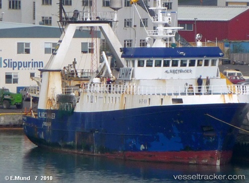
Vessel profile: Rypefjord is a Fish Carrier with dimensions 53m x 12m.
This page combines live AIS, route history, probable destination signals, nearby traffic, and port activity for practical vessel monitoring.
The current position of vessel Rypefjord is 70.74545 lat / 30.44063 lng. Updated: 2026-07-09 05:09:56 UTCNearest reference points:
- Near BATSFJORD
- Near Bugøynes
- Near Nyelv
Currently sailing under the flag of Norway ![]()
Rypefjord built in 1995 year
Deadweight:
470 tDetails:
Live Vessel Rypefjord Analytics (details, animations, etc.)
Recent AIS points (UTC):
2026-07-09 01:42:37 UTC · 71.10274, 28.93258 · SOG 12.4 kn · COG 117°2026-07-09 02:08:26 UTC · 71.05686, 29.15909 · SOG 13 kn · COG 123°
2026-07-09 04:24:24 UTC · 70.80361, 30.25984 · SOG 11.3 kn · COG 125°
2026-07-09 05:09:56 UTC · 70.74545, 30.44063 · SOG 3.2 kn · COG 128°